What is TrueSize.net?
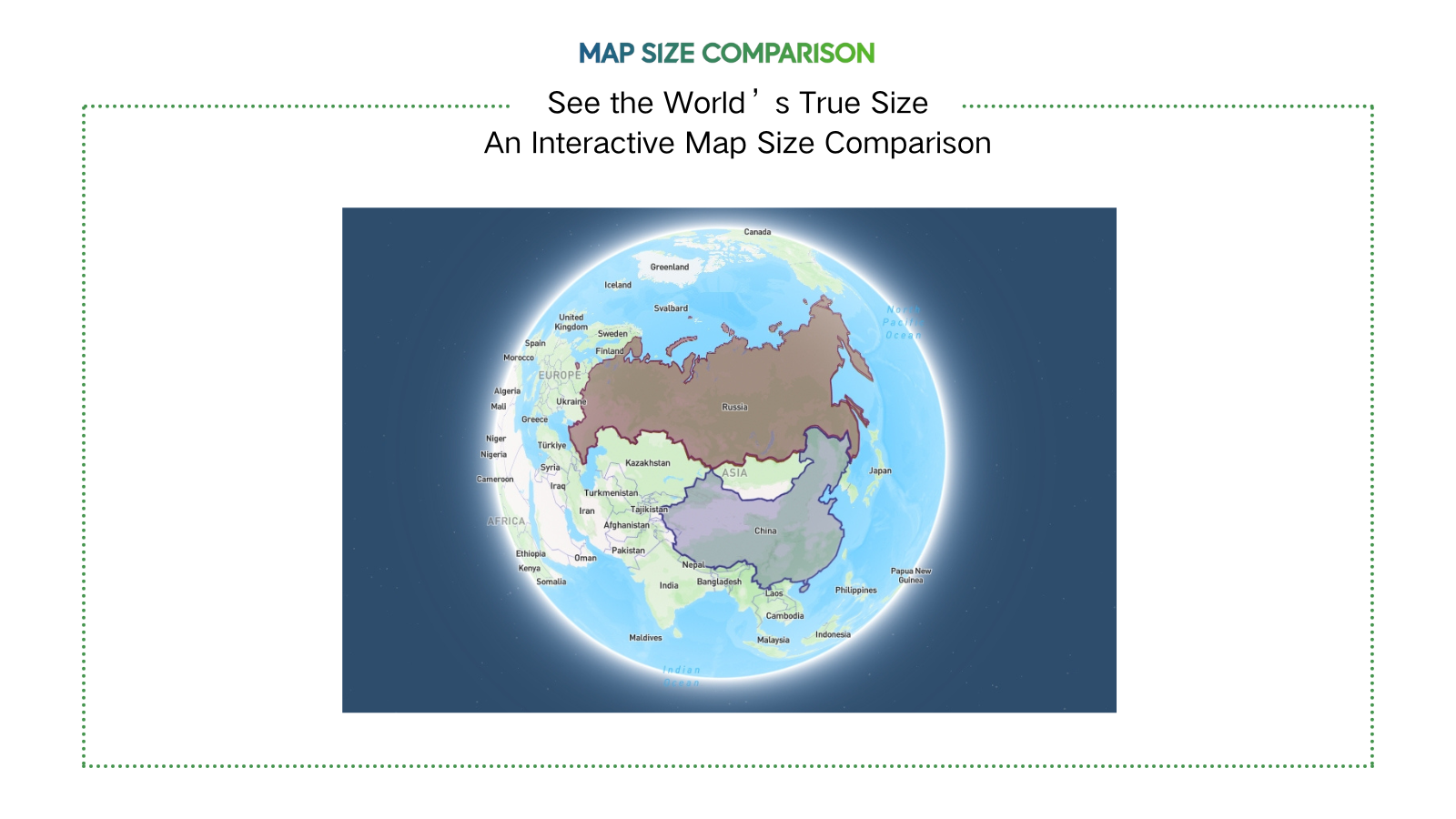
TrueSize.net is a powerful interactive map that shows the real size of countries, 3,700+ subnational regions, and 9,000+ historical territories — from U.S. states to the Roman Empire. Drag, rotate, and explore shapes in true scale, no Mercator distortion.
Problem
Users struggle to accurately visualize and compare geographical sizes due to distortion from traditional Mercator map projections, leading to misconceptions about country/region scales.
Solution
A web-based interactive map tool that lets users drag, rotate, and overlay 3,700+ regions (e.g., U.S. states, countries) to compare their true sizes without Mercator distortion, e.g., shrinking Greenland to its actual scale vs. Africa.
Customers
Educators, students, geography enthusiasts, cartographers, travelers, and professionals in urban planning or geopolitics who need accurate spatial data visualization.
Unique Features
Supports comparisons of 9,000+ historical territories (e.g., Roman Empire), real-time shape rotation, and overlays for visual scale accuracy beyond modern political boundaries.
User Comments
Reveals how distorted traditional maps are
Essential for geography education
Engaging way to explore historical borders
Intuitive for non-experts
Surprising accuracy
Traction
Ranked #1 Product of the Day on ProductHunt, 700+ upvotes; ~500k monthly visits (SimilarWeb est.), used in classrooms globally; free access with optional Pro tier.
Market Size
The global GIS (Geographic Information Systems) market is projected to reach $25.6 billion by 2030 (Grand View Research), driven by demand in education, logistics, and urban planning.